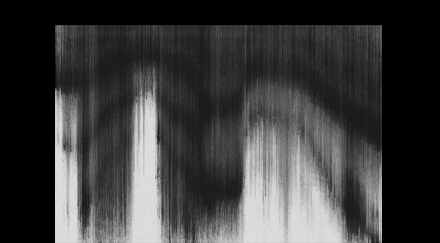
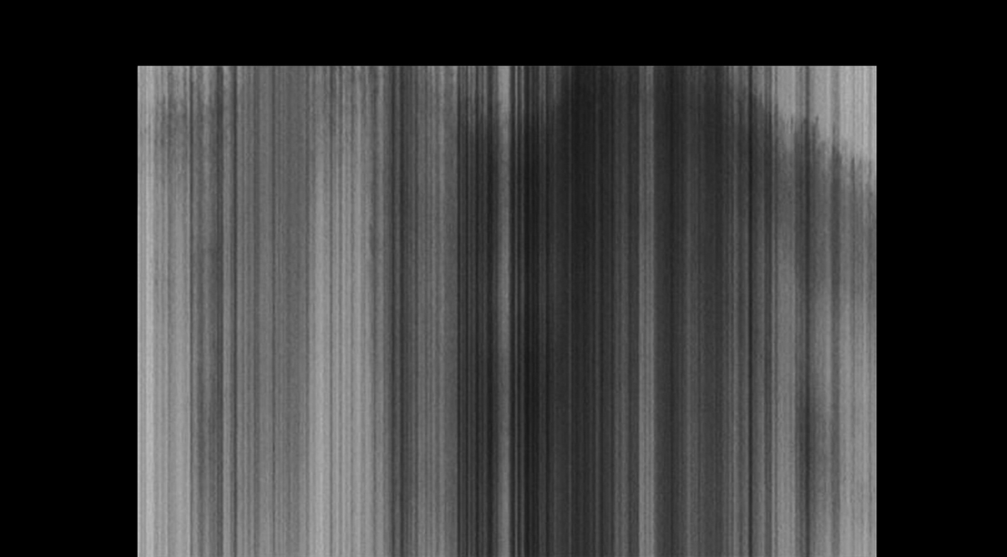
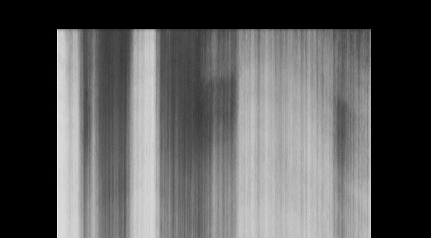


Exhibited in relative scale and respectively positioned from West to East, a seismic map of Upper NY Harbor was divided into three cross sections of subsurface layers forty-eight meters deep, and set into shape-shifting motion. With Acoustic Imaging we realize a subsurface and topography beneath moving waters and a glacial past; a particular profile of deep-time and spatial history comes to the surface via sent sound signals and data imaging. With the installation we become aware of the relationship sound has to image, water to sound, and with the sediments beneath. We also find that this mapped space is in fact a shifting topography beneath a river that runs in two directions, literally, and further as a collection of matter and data. As the alquonquans named the Hudson River, Muhheakantuck, meaning “great waters in constant motion” or “river that runs both ways.” Sub-bottom seismic image and data kindly provided by dr. frank o. nitsche, of the lamont doheny earth observatory at columbia university.
